 Guantanamo.- This week, measurements are being conducted using the Global Navigation Satellite System (GNSS) at various locations in the Caujerí Valley, in the municipality of San Antonio del Sur, and Baracoa. These efforts aim to analyze the dynamics of the Earth’s crust following the magnitude 6.0 earthquake that occurred on March 17, with its epicenter southeast of the municipality of Imías.
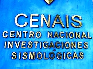
PhD. Enrique Diego Arango Arias, Technical Deputy Director of the National Center for Seismological Research, explained that these studies involve the deployment of temporary Leica GNSS stations positioned for three days at meteorological sites within the affected areas.
The primary objective is to monitor potential deformations in the Earth’s crust, both vertically and horizontally, in order to determine the velocity and direction of crustal displacements. This data will help identify zones of significant stress accumulation between tectonic plates and, consequently, areas with elevated seismic risk.
These GNSS investigations in southeastern Cuba—recognized as the region with the highest seismic risk in the country—are a key priority for the National Seismological Service. They form an integral part of the early warning system designed to keep the population and national authorities informed about seismic hazards, enhancing preparedness and risk mitigation measures.